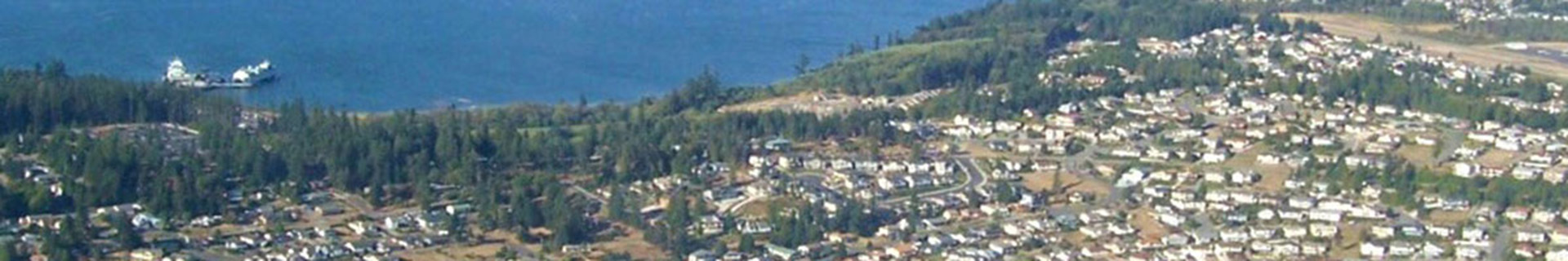
ABOUT SKAGIT COUNTY GIS
 For more information about our community, go to "About Skagit County". For more information about our community, go to "About Skagit County".
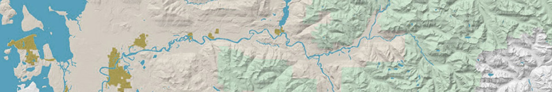
Geographic Information Services (GIS) Operations
The GIS Department is guided by the County Strategic Plan; the GIS mission statement; GIS key values; and operational structure. We operate as a Central Service Department and charge our clients for the services we provide.
GIS Mission Statement
Our mission is to provide exceptional Geographic Information System management and oversight that is beneficial to the public, county business units, and our partners by providing a wide range of GIS technical support services, training, open access to public information, and creating efficient and informative tools for quick information access. We strive to improve the health, safety, and quality of life of the citizens of Skagit County.
GIS Core Values:
The GIS Department has adopted the Code of Ethics of the GIS Certification Institute. Additionally, we have developed our own set of key values that we believe promote success in our daily GIS operations. They include:
GIS Key Values
- Improve Data Accuracy: We believe it is important to always strive to improve the accuracy, quality, and integrity of the data we create.
- Reduce Maintenance: We believe maintenance of GIS data is very important; however, we always strive to find ways to eliminate the need for maintenance through automation or workflow. Reducing maintenance allows us to work more efficiently and provide better service to our clients.
- Improve Automation and Workflows: We believe that we can be more efficient through better workflow and office automation and will strive to find ways we can become more efficient through these methods.
- Educate Our Users: We believe in empowering our user community by providing education and training on GIS tools and technology trends.
- Anticipate Customer Needs: We believe that it is important to anticipate our customer's needs so that we can provide them with better technology and help them to be more productive.
- Project Planning: We believe in defining clear and obtainable project objectives and deliverables when working with our customers.
- Public Access: We believe in improving services to the public and providing the information we create in a meaningful and easily accessible manor.
- Build Partnerships: We believe in developing partnerships with other government agencies to reduce costs, duplication of services, and to share information and resources.
- Work On Stuff That Matters: It's easy to work on things that accomplish little. We believe in focusing our efforts on those things that will make a significant difference. Spending time up front to thoroughly consider project vision, return of investment, planning, workflow, deliverables, maintenance, and benefit are all things we consider before taking on new challenges.
GIS Organizational Structure:
Skagit County GIS is a division of Central Services and reports to the Central Service Director. Central Services includes divisions from Geographic Information Services, Information Services, and Records Management. Central Services was formed in December of 2003 under Resolution Number: R20030425.
Office History
In September 1987, Skagit County contracted with Roy F. Weston, Inc. to conduct a feasibility study for the implementation of an automated mapping system for use within the County. The lead departments which initiated this study were the Assessor's Office, the Auditor's Office, the Department of Public Works, and the Planning and Community Development Department. Weston established a study methodology that included characterizing the existing manual mapping system, identifying needs, establishing requirements, and creating a set of recommendations based on the cost and benefits of implementing those requirements. The study clearly established the following direct and indirect cost benefits:
Direct Benefits:
- Standardization of Map Products
- Rapid Access to Map Related Data
- Integration of Existing Map and Non-Map Data Resources
- Elimination of Map Updating Redundancies
Indirect Benefits:
- Better/More Products to the Public
- Better Tools for Decision-Making
- Geographic Analysis of Existing Data
The consultant recommended using an accurate cadastral survey framework to correlate map features with surveyed Public Land Survey System (PLSS) control points. Unfortunately, the county did not have good survey records available and either had to fund an expensive cadastral survey or find a cheaper alternative to meet their business needs. Because of limited funding, they elected to acquire the Department of Natural Resources PLSS control point network which was made up of mathematically protracted (estimated) points. These points had an estimated accuracy of plus or minus 50 feet and this seemed acceptable for most of the county's needs.
In 1988, the County began the implementation of an automated mapping system by purchasing computer equipment, AutoCAD software, and by training two Records Management employees to begin building the cadastral map layers. A new Mapping Center division was formed under the Records Management Department. The result was the creation of two products: Assessor tax parcel maps and Public Works right-of-way maps. A road right-of-way research specialist was hired shortly after to help to assist the mapping technicians in the collection and compilation of right-of-way records. The Mapping Center included these three employees who were managed by the Records Management Coordinator.
In 1989, Skagit County formed the Data Processing Department to better manage the numerous computer systems that were quickly propagating throughout the County. The Mapping Department was moved from the Records Management Department to the Data Processing Department since both departments had similar technology issues and both were service providers for all county departments. The Data Processing Department hired a GIS Manager in 1991 to oversee Mapping Center staff and to provide guidance for GIS development in Skagit County.
In 1992, the County began to realize some of the limitations of AutoCAD software and decided to purchase ArcInfo GIS (Geographic Information System) software from ESRI. AutoCAD software was still used for the cadastral mapping effort, but ArcInfo was a better tool for handling projects, such as, the Washington Growth Management Act (GMA) that required complex spatial analysis. The Data Processing Director resigned in 1994 and a new director was hired. A prudent business decision was made by the County Administrator to separate the Mapping Center from the Data Processing Department.
Pressure for mapping services to support the GMA slowed the cadastral mapping effort. In addition, in 1996, the Mapping Center was given the additional challenge of readdressing approximately 22,000 rural addresses. However, before the readdressing effort could begin, the cadastral mapping had to be completed and two more employees were hired to expedite this work. The cadastral mapping was finished in 1997 and the Mapping Center quickly began the process of readdressing the County. The readdressing project was completed in 1998 and an Addressing Coordinator was hired in 1999 to manage the new address system. The readdressing project brought forth new technologies to expedite the project, such as, a Global Positioning System (GPS), linear referencing using a truck installed Distance Measuring Instrument (DMI), truck mounted laptop computers, and our first in-house written software applications. The department began sending staff to software and database development courses to further enhance their GIS capabilities. In 1999 a staff member earned a Computer Science degree and was promoted to a GIS Software Engineer.
The department's success in writing software applications led to further advancement in GIS software development. With the 1999 release of ESRI's Map Objects tool kit, the Mapping Center created its first GIS application called SkagitView which provided a simple; yet powerful, mapping tool for any county employee that needed desktop mapping. Success in software development also helped the department to automate many mapping processes which enhanced office efficiency and reliability. About this same time, ESRI launched their Spatial Database Engine (SDE) product which changed the GIS database architecture from single-use to an enterprise-wide scalable architecture. The Mapping Center began the seemingly slow process of converting their traditional GIS datasets to the new SDE format.
A salmon study in the early 1990's identified wild spawning salmon stocks that were at risk of extinction or of special concern. In response to this crisis, the Washington Department of Fish and Wildlife began developing a Wild Salmonid Policy, to focus the agency's efforts on protecting and preserving wild salmon. By 1998, the Mapping Center became very involved with projects designed to help restore the salmon population in Skagit County and another employee was hired early in 2001 that specialized in remote sensing technology, forestry, and landscape ecology. The Mapping Center name was changed to the Geographic Information Services (GIS) Department to better define its role as a county-wide service provider specializing in all aspects of spatial technology.
Also in 2001, the GIS Department contracted with Skagit 911 to provide geographic services for the Spillman public safety system. An employee was hired to coordinate information with the 46 different fire, law, medial, and government agencies to ensure the public safety system would have accurate geocoded information for enhanced 911 services.
The GIS Departments experience in public safety system service and natural disaster support led them to earning a strong reputation for using GIS as a tool to provide critical support services during these events. In July of 2007, two GIS staff members became part of the Type 3 Northwest Incident Management Team (NWIMT). This elite team was the first Type 3 team in the State of Washington and the 20th in the United States. The NWIMT provides multi-agency and multi-jurisdictional support for All-Hazards.
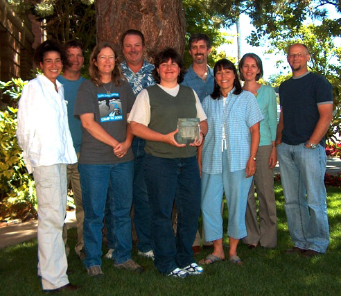
Since its inception, the GIS Department has increased its staff up to 12 full time employees that support approximately 35 different divisions of Skagit County government, as well as, providing contract services to outside agencies. The staff manages terabytes of spatial information and has implemented many technologies, such as, LIDAR (Light Detection and Ranging) and Pictometry aerial photography to help streamline services in Skagit County government. Their software development team has also implemented award winning web applications which include iMap and Crime Map. These applications account for millions of web page views per year and are consistently the top picks on Skagit County's web site. The GIS Department has won several awards at the State level for outstanding work in GIS. And on June 20th, 2007, the Skagit County GIS Department was recognized for excellence in the Geographic Information System (GIS) field with a Special Achievement in GIS (SAG) award at the 26th Annual ESRI International User Conference in San Diego, California. ESRI, the world leader in GIS software, presents the award to organizations and agencies that display dedication and commitment through their use of GIS technology. The winners of the award are chosen out of more than 150,000 organizations worldwide. In addition to their technical merit, the GIS Department has also had their maps published in the prestigious ESRI Map Book which demonstrates their versatility in both technical and cartographic expertise.
Awards And Honors
It's taken a lot of hard work, but we have managed to achieve a few awards and honors along the way. The following are some of the things we have achieved:
- 2005 WAURISA Summit Award: The Summit Award is given to the Washington State GIS Person of the Year. It is given to a person who has contributed to the GIS Community in Washington State. This award is given out annually at the WAURISA Conference held in spring. Geoff Almvig, GIS Manager, received this award is 2005.
- 2007 Special Achievement In GIS Award: The movie industry has the Academy Awards; theater has the Tony's; and the GIS community has the Special Achievement in GIS (SAG) Awards. On June 20th, the Skagit County GIS Department was recognized for excellence in the Geographic Information System (GIS) field with a 2007 Special Achievement in GIS (SAG) award at the Twenty-sixth Annual ESRI International User Conference in San Diego, California. ESRI, the world leader in GIS software, presents the award to organizations and agencies that display dedication and commitment through their use of GIS technology. The winners of the award are chosen out of more than 150,000 organizations worldwide.
- The SAG awards celebrate the achievement and vision of innovators in the GIS field," says Jack Dangermond, ESRI president. "Each winner brings benefits to their communities and influences others to do the same. To make a successful system takes a lot of work," he said. "Someone starts with an idea, and it has to be sold and designed. You have to figure out what is needed and get management support."
- 2020 WAURISA Summit Award: The Summit Award is given to the Washington State GIS Person of the Year. It is given to a person who has contributed to the GIS Community in Washington State. This award is given out annually at the WAURISA Conference held in spring. Josh Greenberg, GIS Remote Sensing Analyst, received this award is 2005.
|