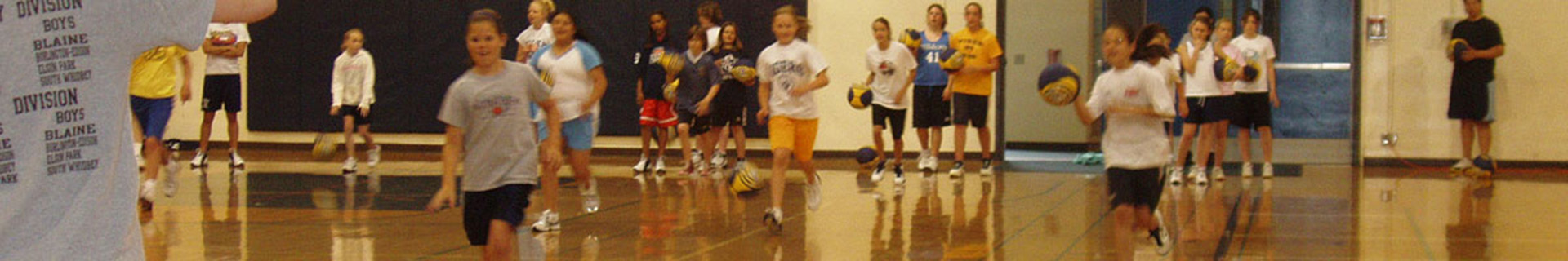


Parks and Recreation
Director: Ken Hansen
Northern
State Recreation Area |
||
|
Note: Due to the ongoing Veterans Community Plaza construction some areas and surrounding trails might be closed to the public until September 30, 2022. Thank you for your patience. For inquiries you may contact the Parks and Recreation office at 360-416-1350.
In
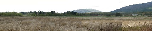
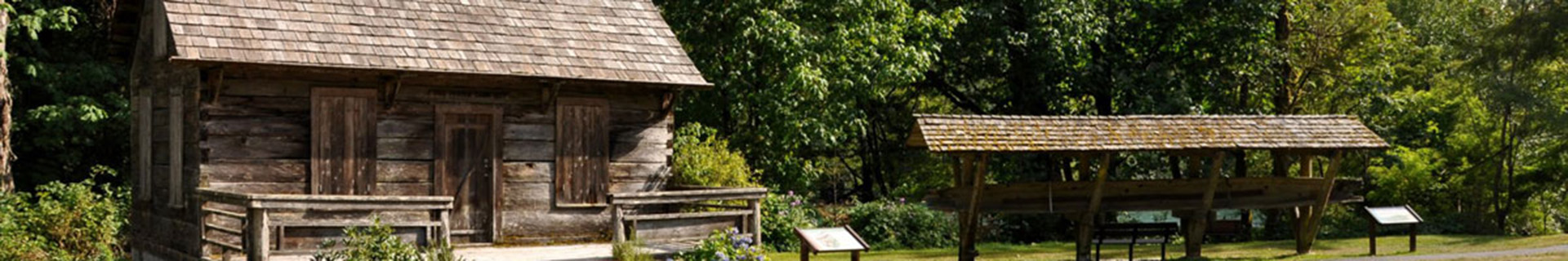
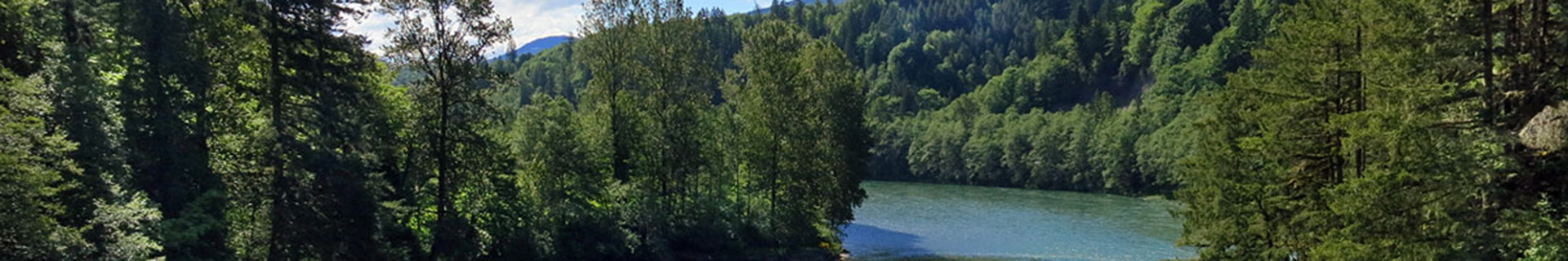
1991, Skagit County purchased a 726-acre portion of the former Northern
State Hospital from the State of Washington for the purpose of developing
a major regional recreation facility for the citizens of Skagit
County and beyond. The site, now called the Northern State Recreation
Area (NSRA), is located on the eastern edge of the urban growth
area of Sedro-Woolley in the foothills of the Cascade Mountains.
Revised Master PlanRationale for Revised Plan It was evident that a revised plan was required to update the 1994 conceptual master plan because a number of significant changes had occurred since 1994. These included:
|
||
|
Please note: The documents offered are in Adobe Acrobat .Pdf format. You need the Adobe Acrobat Reader plug-in loaded on your browser to view and print Acrobat .pdf files. You can download it here for free. |
||
|