|
|
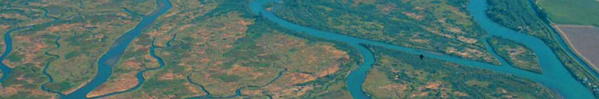
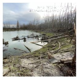
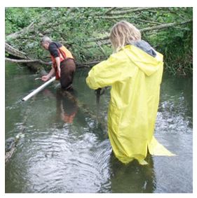
Fish Habitat Monitoring and Restoration
|
|
|
| |
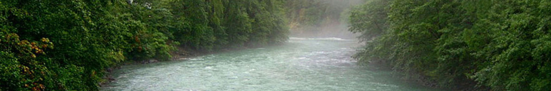
Fish Passage
|
|
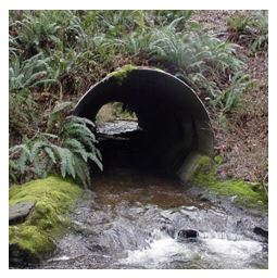
Blocked access for fish passage is one of the most significant barriers to restoring salmonid populations to habitat upstream, and often the easiest thing to do to increase fish numbers (Shear and Steel, 2006). Access upstream can be blocked by culverts that are degraded, undersized, or installed with too steep of slope or drop. In some cases, miles of suitable rearing or spawning habitat cannot be accessed by aquatic species such as federally threatened Chinook Salmon and Steelhead Trout, Coho, Pink, Chum, and Sockeye Salmon, resident trout, and many other species.
In addition to improving fish passage, removing these barriers also updates aging infrastructure, and has benefits for traffic flow, flood reduction, and more.
Culverts Project Schedule
There are also many resources available to private property owners:
|
|
|
| History of the Program |
|
Since the 1990’s Skagit County has worked to acknowledge the role our infrastructure can play in blocking access to habitat and has been actively designing and replacing barrier culverts. Since 1993, when the County started tracking culvert replacements for the benefit of fish passage, we have successfully improved 62 crossings.
Much of this work has been opportunistic and funding related. In 2014, the County strategically prioritized barrier culverts with the intent of staring an active fish passage correction program. We brought nine high priority culverts to conceptual level design (Watershed Company, 2014 ). We have been actively working on replacing these culverts since that time.
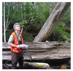
Beginning in 2016, Skagit County partnered with Skagit River Systems Cooperative (SRSC), Upper Skagit Indian Tribe (USIT), and Skagit Fisheries Enhancement Group (SFEG) to assess culverts for fish passability and improve the Washington Department of Fish and Wildlife (WDFW) database that existed for the Skagit Watershed. The assessment was done according to WDFW Barrier Assessment Methods. The group assessed over 1,000 culverts for barrier status by the end of 2019. This work is on-going with new culverts being identified as barriers all the time. The database is being updated and the County is using this information to strategy culvert improvement projects.
|
 |
|
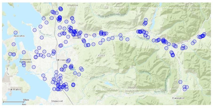
WDFW identified Skagit County owned fish passage barriers
|
Identification and Optimization Process
|
|
In June 2020, SRSC published a report detailing findings from the assessment work. This report provided an up-to-date list of known barriers, why they are barriers, how much habitat they block, the current condition of the culvert, and other features helpful in determining a replacement order. The report did not include the Samish watershed, the Skagit estuary, Fidalgo Island and upstream of the Gorge Dam at Newhalem due to some complicating factors in those areas. Work is ongoing to evaluate culverts in those sectors and the report will be updated over time with this information.
The June 2020 report identified 107 barrier culverts and 15 culverts with unknown barrier status that are directly under ownership of Skagit County. With the immediate and critical situation involving our regional salmon stocks and the endangered Puget Sound Orca population, Skagit County has chosen to prioritize culverts that have no known barriers downstream. Additional considerations include:
- percent passability – culverts can block fish all the time or just during certain flows. We prioritize those culverts that block passage more often ahead of those that mostly allow fish to pass through.
- available habitat upstream – amount of habitat that a given species can use. Some fish can utilize steeper gradients than others. We prioritize crossings that have more upstream habitat available.
- species use – culverts that are used by federally threatened species or multiple species get more priority than those used by one species.
- culvert condition – some culverts are blockages to fish and are also in poor condition and need to be replaced. These culvert projects often have multiple funding sources making them easier to prioritize.
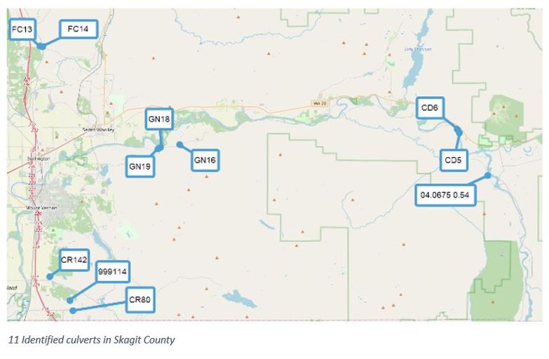
For the first round of prioritization 11 Culverts were selected, 2 in the Samish watershed and 9 in the Skagit Watershed. These culverts will be taken to final design and constructed using funding from a variety of sources.
|
Design
|
In 2022 Skagit County was $1 million directly from the State legislature to fund design of the initial 11 culverts selected. The state awarded an additional $1 million in 2023 to address increases in costs. With these Legislative funds and Skagit County matching funds, the 11 prioritized culvert designs will be completed for competitive for construction grant funding. The first 11 culverts are shown below. |
 |
|
Prioritized Culvert Details
|
| County Priority |
Site ID |
Road |
MP |
Stream |
Latitude |
Longitude |
Most Recent Visit |
Barrier Reason |
Passability |
| 1 |
GN16 |
South Skagit Highway |
6.98 |
Sorenson Creek |
48.48858 |
-122.10462 |
03/17/2016 |
Drop and Slope |
0% |
| 2 |
FR13 |
Friday Creek Rd |
1.694 |
Butler Creek |
48.59561 |
-122.32834 |
04/26/2022 |
Slope |
33% |
| 3 |
FR14 |
Old Hwy 99 |
7.919 |
Butler Creek |
48.59445 |
-122.3241 |
01/27/2009 |
Slope |
33% |
| 4 |
GN18 |
South Skagit Highway |
5.52 |
Gilligan Creek |
48.48553 |
-122.13554 |
03/20/2019 |
Slope |
33% |
| 5 |
04.0675 0.54 |
Concrete-Sauk Valley Road |
12.2 |
Rudd Creek |
48.45483 |
-121.61004 |
01/30/2018 |
Drop |
33% |
| 6 |
GN19 |
South Skagit Highway |
5.34 |
Stevens Creek |
48.48426 |
-122.13885 |
01/09/2017 |
Slope |
33% |
| 7 |
CR142 |
Bulson Road |
4.11 |
Bulson Creek |
48.34488 |
-122.31261 |
06/07/2018 |
Slope |
33% |
| 8 |
CD6 |
Sauk Store Rd |
0.6 |
Unnamed |
48.50488 |
-121.6592 |
02/02/2011 |
Drop |
0% |
| 9 |
CR80 |
Starbird Rd |
1.69 |
Unnamed |
48.30813 |
-122.27557 |
04/19/2016 |
Drop |
0% |
| 10 |
CD5 |
Sauk City Road |
0.1 |
Unnamed |
48.50122 |
-121.65572 |
12/09/2010 |
Drop |
0% |
| 11 |
999114 |
Tyee Road |
0.523 |
Unnamed |
48.31918 |
-122.2803 |
04/19/2016 |
Debris |
0% |
Close
|
|
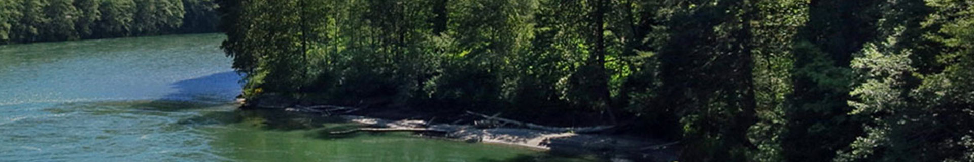
Restoration
|
|
Restoration is a way of improving and protecting resources and it can come in many forms. Projects such as large-scale levee setbacks, bank reinforcement, blackberry removal with replanting of native vegetation, and fish passage projects are all forms of restoration. Explore some of our projects in the links below!
If you have a streamside property that is in need of blackberry removal, livestock fencing, or bank reinforcement; the Skagit County Natural Resources Stewardship Program (NRSP) has free grant funded resources available to help.
|
|
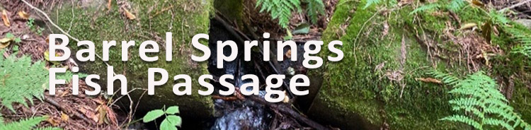
Barrel Springs Fish Passage
|
|
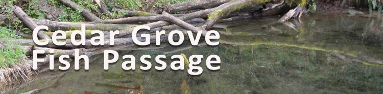
Cedar Grove Fish Passage
|
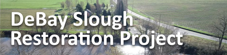
DeBay Slough Restoration Project
|
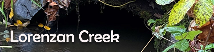
Lorenzan Creek Feasibility Study
|
|
Maddox Creek Restoration Project
|
|
Mill Creek Feasibility Study
|
The Nookachamps project
|
South Fork Skagit River Delta Restoration Project
|
| Back to top |
|
Past Monitoring |
|
The Salmon Habitat Monitoring Program was established by Skagit County Resolution R20030210 (later replaced by Resolution R20040211).The Monitoring Program was used to assess the effectiveness of Critical Areas Regulation for Ongoing Agriculture (County Ordinance O20030020). The four objectives of the program were:
- Determine baseline conditions.
- Determine trends over time with additional monitoring
- Determine if habitat conditions are improving, degrading, or remaining the same in Ag-Natural Resource Lands (NRL) and Rural Resource- Natural Resource Lands (RRc-NRL).
- Provide a benchmark to differentiate between trends in salmon habitat in Ag-NRL and RRc-NRL versus other zoned Skagit County jurisdictions.
|
| |
| Reports and Data |
|
 2012 Salmon Habitat Survey Summary 2012 Salmon Habitat Survey Summary
2011 Salmon Habitat Survey Summary
2010 Salmon Habitat Survey Summary
2009 Salmon Habitat Survey Summary
2008 Salmon Habitat Survey Summary
2007 Salmon Habitat Survey Summary
2006 Salmon Habitat Survey Summary
2004/2005 Salmon Habitat Survey Baseline Report
The Skagit County Salmon Habitat Monitoring Program Quality Assurance Project Plan
Skagit Stream Networks Diagrams
Back to top
|
|
|